Roadworks

Help Page
Step 1: Setting the date range
Option 1
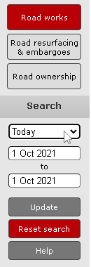
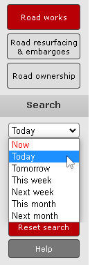
Click on the ‘date range’ drop-down and select the range you want from the list. This will automatically set the start and end dates and update the map.
Option 2
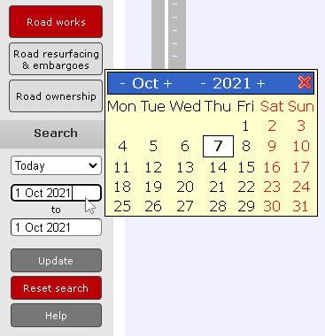
Clicking on either the start or end date will bring up a calendar. Change the month and year at the top of the calendar, then select the relevant dates. Once you have selected the dates that you want click the ‘Update’ button.
Step 2: Finding a road
Option 1
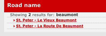
Type part of the road’s name or the postcode in the search field and click the ’Go’ button.
Then select from the road search results listed in the table below. The map will then ‘zoom in’ and highlight the selected road.

Option 2
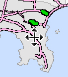
Click on the area of the map that you are interested in and hold the mouse button down, then drag the cursor to the centre of the screen.
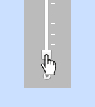
Slide the zoom bar control up to zoom in and down to zoom out. Clicking the ends of the bar will also zoom the map in and out.
Note: A mouse wheel can also be used to select the map by clicking and holding down the wheel, and to zoom in and out by rolling the wheel.
Step 3: Identifying an activity
Action
Click on an activity to display summary information in the table below.
To zoom in just click on the activity link on the left hand side of the activity listing.
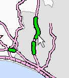
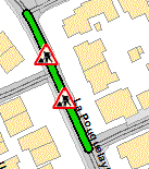
Note: The extent of the activity or road closure will be shown by one or two marker symbols depending on its length.
Other Information
Action
Click the ‘Summary Traffic Report’ icon to see the main activities currently in progress and those due to commence within the following 5 days.
